{ ON FOOT }
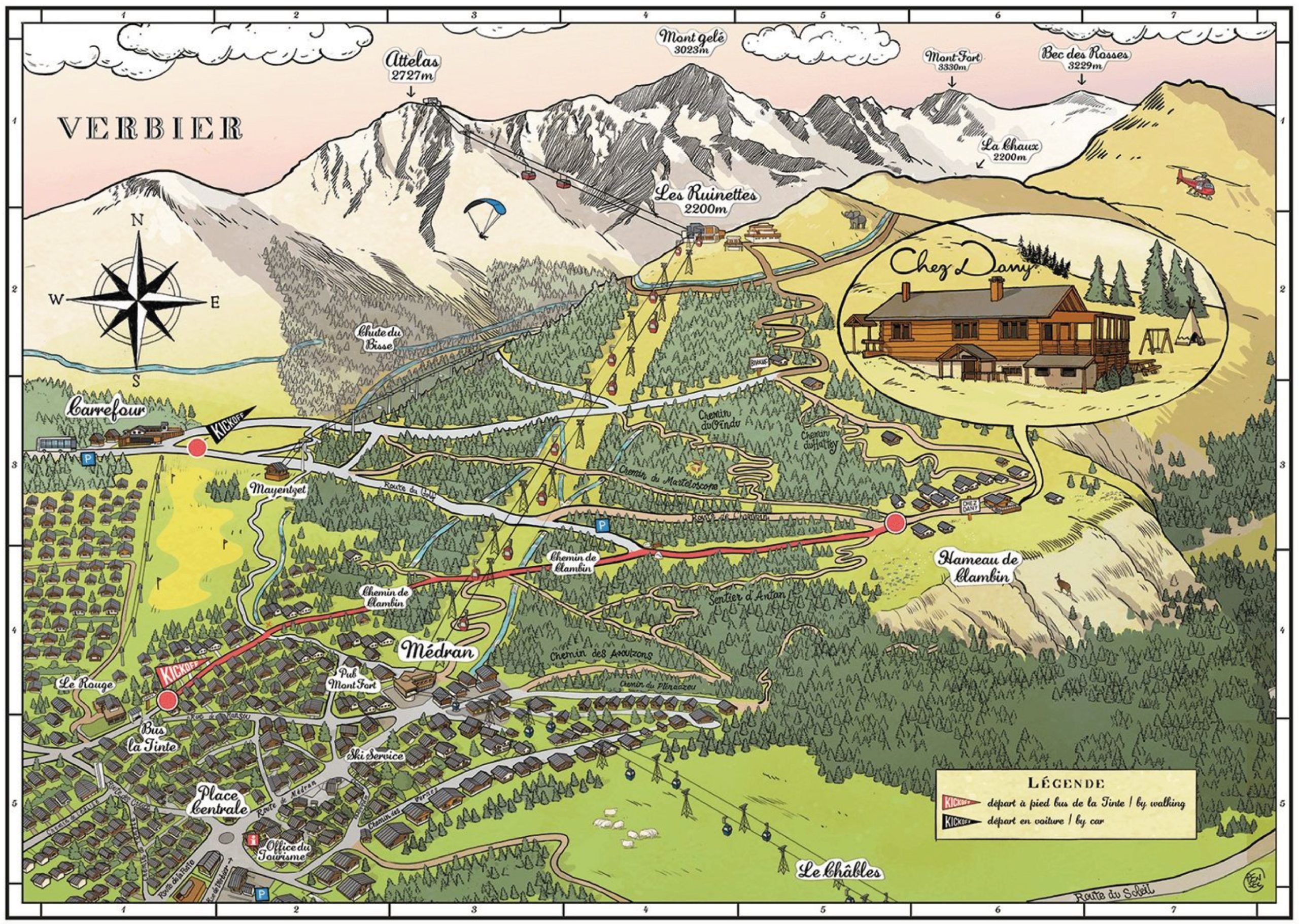
several marked hiking and snowshoeing trails lead to the restaurant. we are a 20-minute walk from carrefour and a 15-minute walk down chemin de clambin.
Sledging to the restaurant is not recommended.
Sledging to the restaurant is not recommended.

{ BY BIKE }
the ski area becomes a giant playground for biking during the summer! 950 km of marked trails are open and a variety of routes lead to the restaurant: chemin de clambin, hattey, combes … find out more here.

{ BY CAR }
drive straight to the restaurant via route de clambin, for lunch or a moonlit dinner. The access by car to our restaurant is only in summer.


MAP OF THE CLAMBIN AREA
latitude : 46.086701 / longitude : 7.236324 / altitude : 1715 meters